Details of record no: 21877
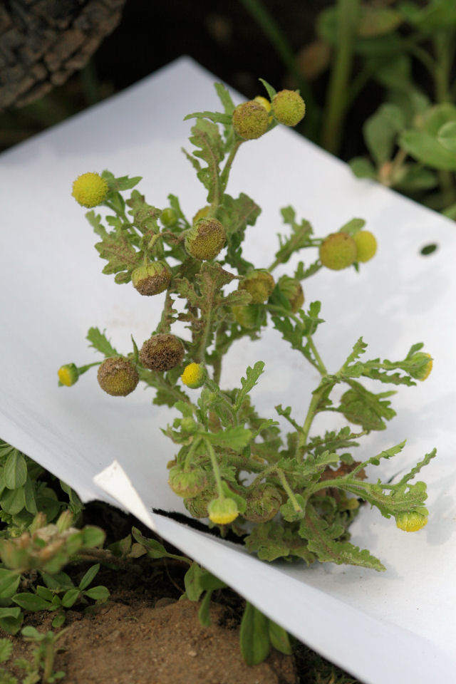
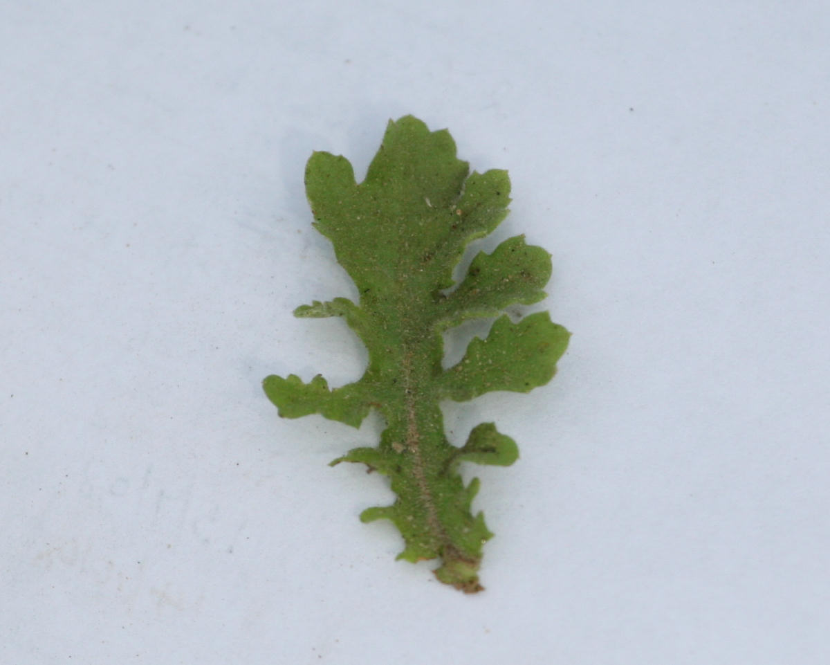
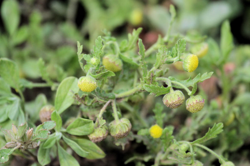
Grangea maderaspatana (L.) Poir.
Three blocks of information are displayed on this page, namely: (a) details of the record; (b) the record point plotted using Google Maps and (c) any images attached to the record. Please scroll down to see the various items.
Record details:
| Date:
| 27 Nov 2008 |
| Recorder(s): | A Hull
|
| Collector(s): | |
| Determiner(s): | |
| Confirmer(s): | |
| Herbarium: | |
| Habitat:
|
In wet area. |
| Location:
|
Rukomechi flood plain, near Chirara River. |
| Location code(s):
|
|
| Outing code:
|
|
| Planted code: |
Not planted |
| Country:
|
Zimbabwe |
| Quarter Degree Square:
|
1529C3 |
| Grid reference:
|
QN308470 |
| FZ Division:
|
N |
| Altitude (metres):
|
370 |
| Notes:
|
|
| Latitude, Longitude:
|
|
| Location Accuracy Code:
|
0 |
Map of species record
Images:
Image: 1

| Species id: | 158720 |
| Image id: | 1 |
| Image number: | 5127 |
| Photographer: |
A Hull |
Code 1 if image of a herbarium specimen: | 0 |
| Herbarium in which image taken: | |
| Code 1 if image not to be displayed: | 0 |
| Image notes: | |
Image: 2

| Species id: | 158720 |
| Image id: | 2 |
| Image number: | 5128 |
| Photographer: |
A Hull |
Code 1 if image of a herbarium specimen: | 0 |
| Herbarium in which image taken: | |
| Code 1 if image not to be displayed: | 0 |
| Image notes: | |
Image: 3

| Species id: | 158720 |
| Image id: | 3 |
| Image number: | 5129 |
| Photographer: |
A Hull |
Code 1 if image of a herbarium specimen: | 0 |
| Herbarium in which image taken: | |
| Code 1 if image not to be displayed: | 0 |
| Image notes: | |
?>
Copyright: Mark Hyde, Bart Wursten, Petra Ballings and Meg Coates Palgrave, 2014-24
Hyde, M.A., Wursten, B.T., Ballings, P. & Coates Palgrave, M.
(2024).
Flora of Malawi: Individual record no: 21877: Grangea maderaspatana. https://www.malawiflora.com/speciesdata/species-record.php?record_id=21877, retrieved 21 November 2024
Site software last modified: 3 April 2018 9:37pm
Terms of use


